Promotion
Use code BESTBOOKS24 for 25% off sitewide + free shipping over $35
By clicking “Accept,” you agree to the use of cookies and similar technologies on your device as set forth in our Cookie Policy and our Privacy Policy. Please note that certain cookies are essential for this website to function properly and do not require user consent to be deployed.
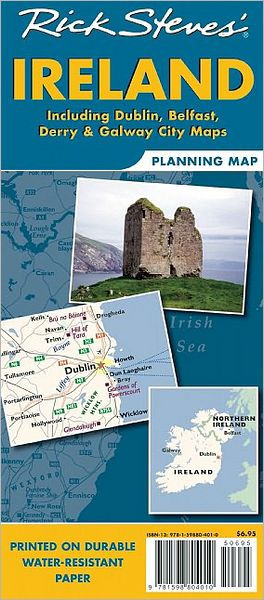
Rick Steves Ireland Planning Map
Contributors
By Rick Steves
Formats and Prices
Price
$8.99Price
$11.99 CADFormat
Format:
Sheet map,folded $8.99 $11.99 CADThis item is a preorder. Your payment method will be charged immediately, and the product is expected to ship on or around December 22, 2009. This date is subject to change due to shipping delays beyond our control.
Also available from:
Designed specifically for Rick’s travel audience this map highlights choice destinations throughout Ireland, from the Ring of Kerry to the Antrim Coast, in a colorful, easy-to-use format on high-quality paper that lasts over many trips.
- Cuts the Clutter: While big cities are left for navigational purposes, this map is otherwise stripped clean and filled in only with places that matter to travelers.
- Guidebook-Friendly: At a glance, all the places you read about in Rick’s Ireland guidebook pop right out in a crisp, easy-to-read format
- Rail or Road: Includes important train lines and highways (and ferry routes) for easy route-planning, no matter how you’ll get around.
- The Back’s Even Better: The reverse side includes detailed city-center maps-locating sights, hotels and restaurants from Rick’s guidebook.
- On Sale
- Dec 22, 2009
- Publisher
- Rick Steves
- ISBN-13
- 9781598804010
Newsletter Signup
By clicking ‘Sign Up,’ I acknowledge that I have read and agree to Hachette Book Group’s Privacy Policy and Terms of Use


